Bath's architectural grandeur, carved from the honey-coloured Oolitic limestone that built the Royal Crescent and the Circus, presents a uniquely sensitive environment for any subsurface work. The city's hillsides, shaped by the River Avon's steep valley, mean excavation here is never routine. A deep basement extension in Lansdown or a utility trench near Pulteney Weir can destabilise delicate historical footings if not carefully watched. In our experience working across the South West, the combination of ancient retaining structures, variable bedrock depth, and strict planning conditions makes real-time monitoring indispensable. We integrate in-situ permeability data with settlement markers and inclinometer arrays to establish a baseline of ground behaviour before a single shovel breaks the surface, ensuring that Bath's seven hills remain as stable as they are beautiful.
Monitoring an excavation in Bath means reading the subtle signals of a city that has been shifting on its limestone foundations for two thousand years.
Service characteristics in Bath
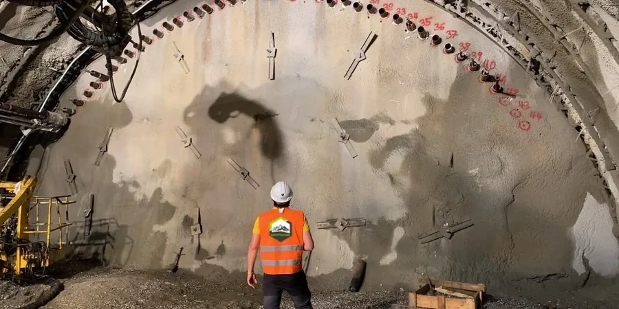
Critical ground factors in Bath
BS EN 1997-1:2004 (Eurocode 7) requires that the Observational Method be explicitly documented where ground conditions are uncertain, and in Bath, the historic infill of medieval quarries and undocumented cellars makes that uncertainty a certainty. The greatest risk we document is not catastrophic collapse but the cumulative effect of minor settlement on unreinforced masonry. A 3 mm differential movement across a Georgian terrace can open diagonal cracks through lath-and-plaster interiors. In the Circus and Royal Crescent, where the shallow spread footings bear directly on variably weathered limestone, we apply a dense matrix of electrolevels and precision leveling points, with automated SMS alerts tied to amber and red thresholds agreed with the BANES conservation officer. Ignoring groundwater drawdown effects is another frequent pitfall; lowering the water table by even half a metre can expose timber piles beneath riverfront structures to decay, a secondary risk that monitoring must capture early.
Our services
Our monitoring packages are configured for Bath's specific planning and heritage constraints. Each one can be delivered as a standalone service or combined into a comprehensive Observational Method plan:
Heritage Asset Condition and Movement Surveys
Pre-construction condition surveys with high-resolution photography and crack mapping, followed by continuous automated total station monitoring of fixed prisms on listed facades. We align reporting formats with BANES planning requirements for World Heritage Site consent.
Subsurface Instrumentation and Groundwater Control
Installation and telemetric reading of inclinometers, magnetic extensometers, and standpipe or vibrating wire piezometers. This package is essential for deep excavations where dewatering is planned and the impact on neighbouring springs or the thermal waters must be assessed.
Vibration and Threshold Management
Deployment of triaxial geophones to measure peak particle velocity during rock breaking or sheet piling. We set traffic-light trigger values in accordance with BS 5228-2 and local authority agreements, providing immediate alerts to the site manager's mobile device.
Quick answers
What types of monitoring equipment are typically used for a Bath basement excavation?
A typical scheme combines several instrument types. We use a robotic total station with fixed prisms on adjacent buildings for 3D displacement tracking, in-place inclinometers to detect lateral ground movement behind the retaining wall, and vibrating wire piezometers to measure groundwater pressure at multiple depths. For heritage structures, we add Avonguard crack monitors or digital calipers across existing fissures. All instruments connect to a cloud-based data logger that updates readings continuously.
How much does geotechnical excavation monitoring cost in Bath?
Costs vary widely depending on the number of instruments, monitoring duration, and reporting frequency. For a typical residential basement project in Bath, a basic scheme including three months of monitoring with a manual total station, a few crack monitors, and a single inclinometer might run between £600 and £1,890. Larger commercial excavations requiring automated motorised total stations and multiple piezometers will naturally sit at the upper end or beyond this range.
Is monitoring mandatory for all excavations in Bath?
Not every hole in the ground requires a full monitoring scheme, but planning conditions in Bath and North East Somerset are stringent, especially within the World Heritage Site and conservation areas. If your project involves excavation deeper than 1.5 m near a listed building, a party wall, or a highway, BANES planning officers will almost certainly require a condition survey and a monitoring plan. For deeper excavations, the Observational Method under Eurocode 7 becomes the expected standard of care.
How quickly can you respond if a monitoring alert is triggered?
Our system sends automated SMS and email alerts to the site manager and the geotechnical engineer the moment a pre-set trigger value is exceeded, whether it is a 5 mm settlement or a vibration threshold. We maintain a geotechnical engineer on call for Bath projects who can be on site within two hours to interpret the data and recommend immediate mitigation steps, such as halting dewatering or adjusting the excavation sequence.